


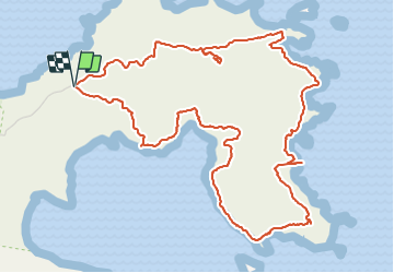


7,3 km | 10 km-effort

Gebruiker GUIDE


Gratisgps-wandelapplicatie
 SityTrail
IGN / Geografische instituten
SityTrail World
De wereld gaat voor u open
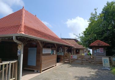
Tocht Stappen van 10 km beschikbaar op Martinique, Onbekend, La Trinité. Deze tocht wordt voorgesteld door Lamartiniere.
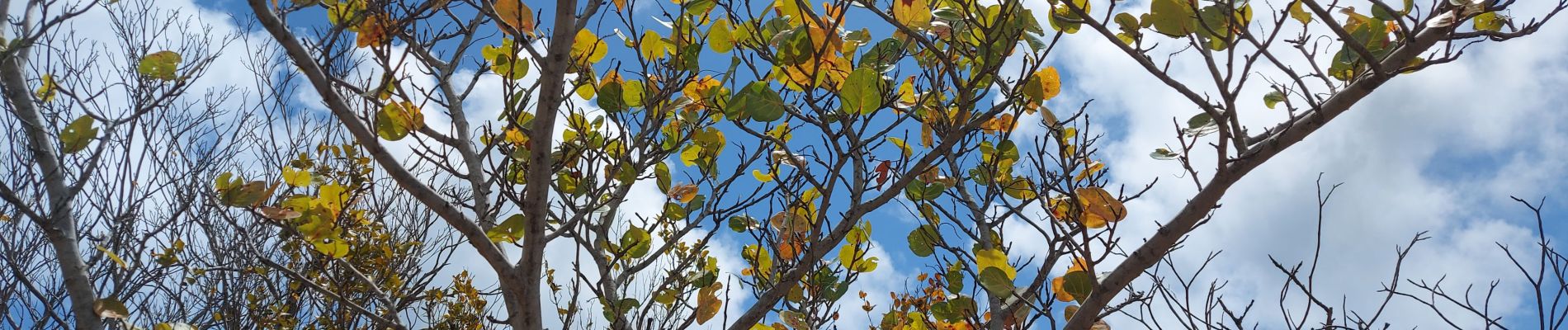
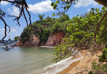
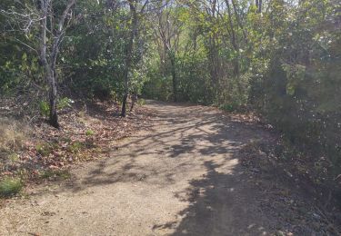
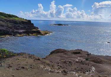
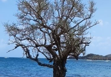
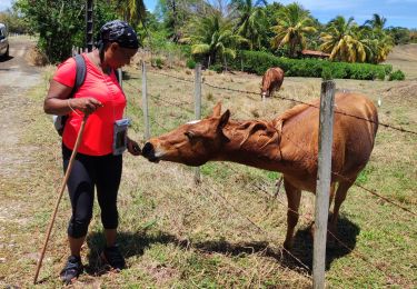
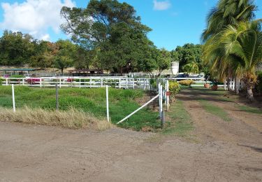
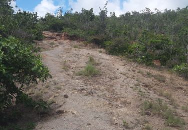
Boucle de 10 kms sur La Caravelle. Plantes de la forêt sèche photographiées, liste non exhaustive. Période de sécheresse. Manque le "bwa ennivraj", pas de feuilles.


57 fotos in totaal. Klik op een foto om ze allemaal in de galerij weer te geven.
Stappen
Stappen
Stappen
Stappen
Stappen
Stappen
Stappen
Stappen
Stappen